South Georgia Weather Authority Forecast: October 2, 2025
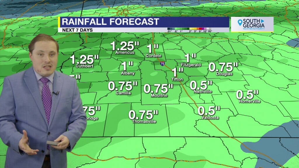
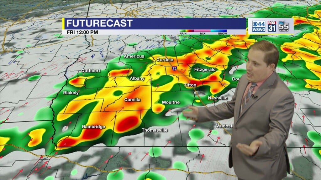
Latest Drought Monitor shows an expansion of severe drought that has taken over most of the area. Clouds increase as humidity levels rise on Friday. Winds could still gust to near 30 mph at times due to tightening of pressure gradient. Numerous showers and thunderstorms with soggy and damp conditions for second half of the weekend. Cooler and showery conditions extend into early next week. Beneficial rainfall totals could approach or exceed 1″ in spots. Drier and warmer weather takes over thereafter.
The last advisory has been written on Imelda as it becomes a post-tropical cyclone after it battered Bermuda last night. NHC is monitoring two other areas to watch in the tropics. An area of low pressure may develop along a remnant frontal boundary near the northwestern Bahamas and southern Florida over the next day or two. Any additional development will be slow to occur as the system moves across the Florida Peninsula into the Gulf. A tropical wave is expected to move off the west coast of Africa and merge with another disturbance in eastern Atlantic. Some slow development is possible as it moves generally west-northwestward at 15 to 20 mph.
Matthew Crumley
@MattCBS44
Because Local Matters!


