South Georgia Weather Authority Forecast: June 10, 2025
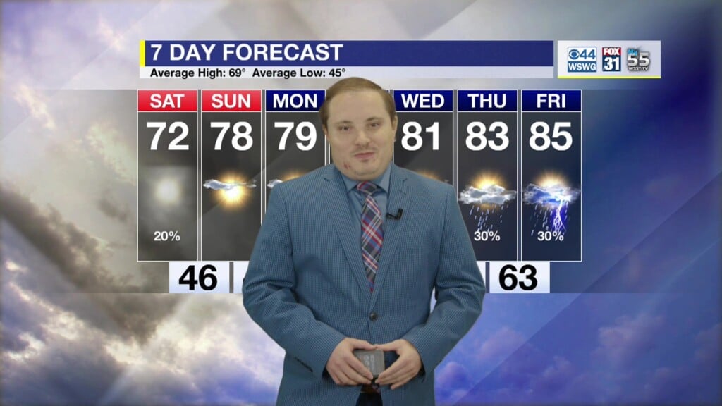
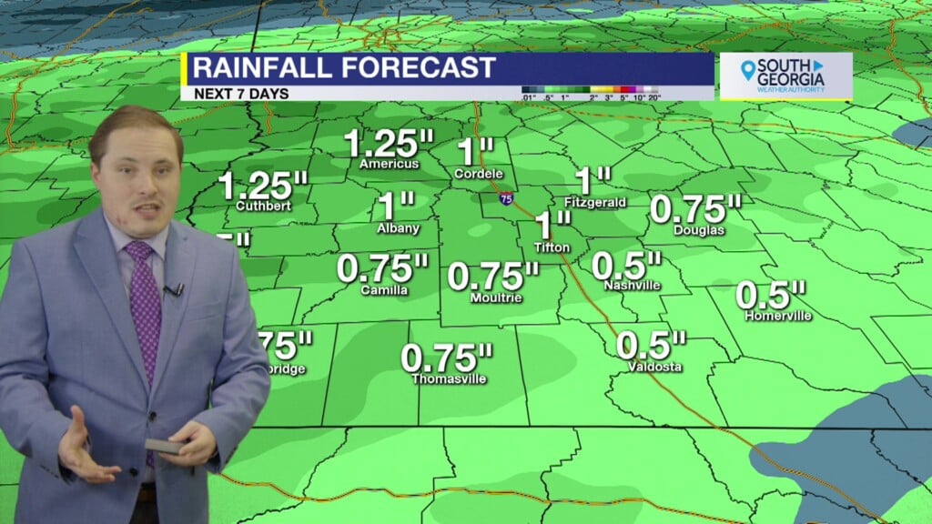
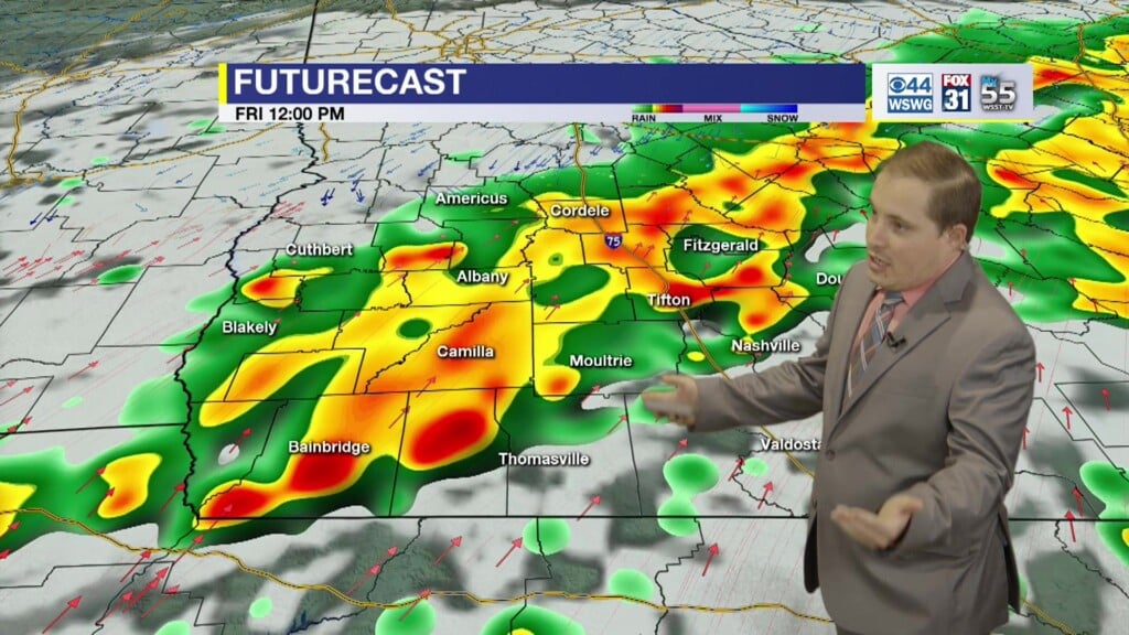
Early morning strong to severe thunderstorms have moved out and have stabilized or “worked over” the air mass, but additional thunderstorm redevelopment is now underway with daytime heating this afternoon later into the evening that may linger into the overnight hours. Wet weather pattern eases some as the triggering mechanisms transition from the synoptic scale shortwaves or mid-upper level disturbances to the more mesoscale features such as the sea-breeze driven convective activity. Rain chances become more widely scattered and more hit-or-miss variety through mid-week along with more sunshine allowing temperatures to reach the 90s. Typical summertime regime holds into Flag Day and Father’s Day weekend with daily scattered showers and storms with seasonably hot and humid conditions.
Matthew Crumley
@MattCBS44
Because Local Matters!


