Today’s Weather Authority Forecast: September 7, 2022
FLOOD THREAT
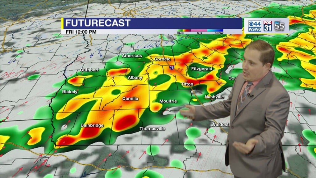
There is a marginal risk of excessive rainfall on Thursday.
There is a slight risk (15% probability) on Friday and Saturday.
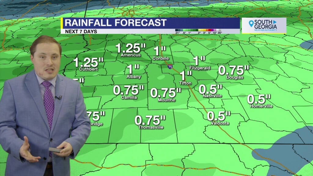
2″-4″ of rainfall is expected with up to 3″-5″ possible, especially for areas along I-75 and N FL into SE GA.
Flash flooding is an extremely dangerous situation. Monitor later forecasts and be prepared to take action by seeking higher ground should flash flooding develop.
Stay tuned for updates!
EXTENDED FORECAST
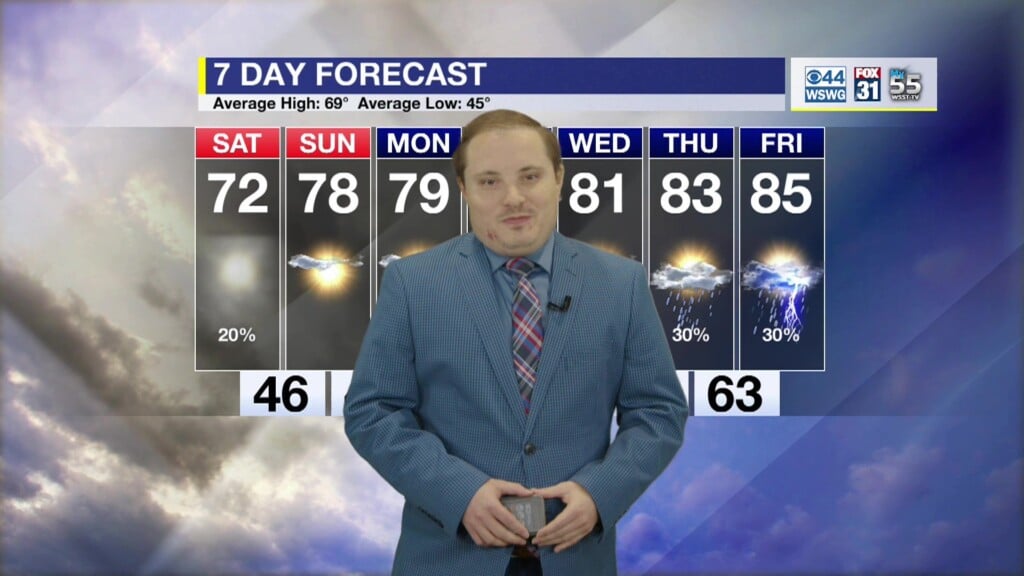
Heavy rainfall potential keeps temperatures slightly below average in the low-mid 80’s.
A “cold front” appears by midweek sending morning lows in the mid-60’s!
TROPICAL UPDATE
Danielle is still a large hurricane over the northern Atlantic.
Earl forecast to become a major hurricane later this week.
Tropical Storm conditions expected for Bermuda.
Dangerous surf and rip current conditions over the eastern U.S. coastline for the next few days.
Eastern Atlantic tropical wave has a high chance of development.
A tropical wave along the coast of Africa has a low chance of development.
Will need to watch upper air pattern, stirring currents mid-late Sept.
For updates on the tropics from the National Hurricane Center visit hurricanes.gov
WEATHER WATCHERS
If you love talking about the weather, we would like to hear from you! Now you can sign up to become a South GA Television Weather Watcher!
Click the Weather Watchers link at the top of southgatv.com to find out more, let us know you’re interested, and become part of the team!
Matthew Crumley
@MattSouthGATV
Because Local Matters!


