Today’s Weather Authority Forecast: September 26, 2022
HURRICANE IAN

Ian is now moving towards the western tip of Cuba.
Rapid intensification is possible, becoming a major hurricane as it moves into the southeastern Gulf of Mexico.
The main global models ECMWF & GFS still differ on Ian’s track, anywhere from the FL big bend to the western FL peninsula, near Tampa Bay.
Slight shifts in the forecast track remain possible, and that will ultimately change our impacts here in SWGA. *The late afternoon GFS is more line with the ECMWF.
Based on today’s forecast, Ian is expected to weaken from a category 2 hurricane to a tropical storm, then to a tropical depression as it moves into GA from Fri. pm-Sat. am.
However, tropical storm force winds from the expansion of Ian’s wind field as it slows to a crawl northward could move into SWGA as early as late Wednesday pm or early Thursday am.
Shifts in the storm’s track and motion will alter the timing of the earliest reasonable arrival of the tropical storm conditions.
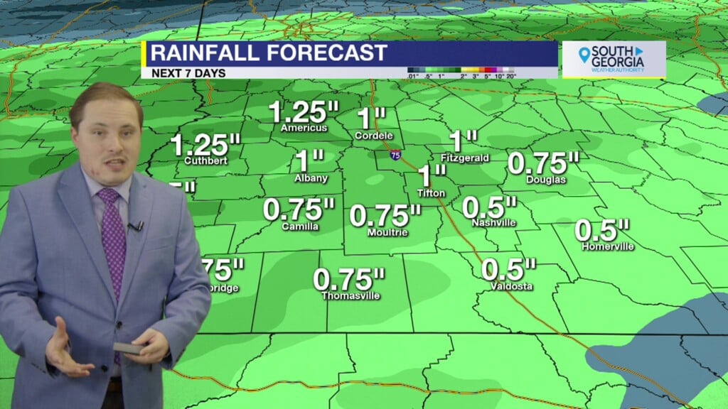
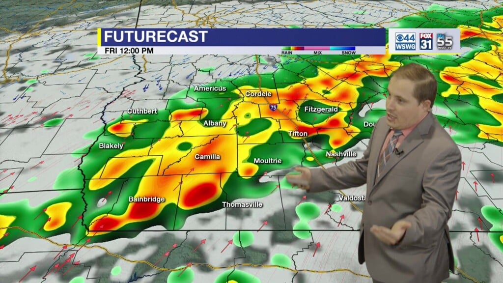
SWGA’s main impacts are tropical storm force winds, possibly both sustained and in gusts from 40-60 mph or higher, heavy rainfall especially for eastern half of the area closer to Ian’s center of circulation, and the possibility for a few brief, weak spin-up tornadoes.
Ian’s impacts could last into Saturday AM before it weakens over land.
ALL of the above is subject to change, and is highly dependent on the track and timing of Ian. Stay tuned for updates!
Reasonable worst case scenario for the wind gusts (GFS model) assuming Ian takes a track out of the FL big bend into SWGA instead of bending south into the FL peninsula around Tampa Bay.
Reasonable worst case scenario for storm total rainfall (NWS Weather Prediction Center) as the storm slows to a crawl as it moves inland. The heaviest swaths of rain will be east of the center of circulation, which is highly dependent on the track.
7 DAY FORECAST
For updates on the tropics from the National Hurricane Center visit hurricanes.gov
WEATHER WATCHERS
If you love talking about the weather, we would like to hear from you! Now you can sign up to become a South GA Television Weather Watcher!
Click the Weather Watchers link at the top of southgatv.com to find out more, let us know you’re interested, and become part of the team!
Matthew Crumley
@MattSouthGATV
Because Local Matters!


