Today’s Weather Authority Forecast: October 25, 2022
STRONG STORMS?
Marginal risk of isolated strong to severe t’storms remains for western part of SWGA.
Timing is around midnight-5am.
Main threat is gusty to damaging winds, but an isolated brief, weak tornado cannot be ruled out.
The storms will be weakening from west to east. Stay tuned!

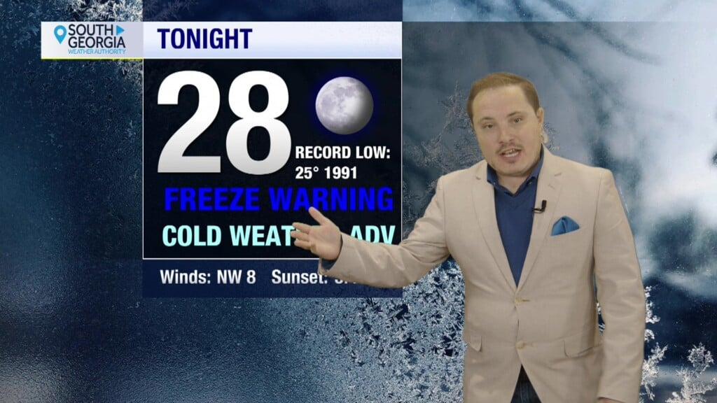
TONIGHT:
Rain and thunderstorms late. Lows in the low 60’s.

TOMORROW:
Morning showers. Afternoon partly cloudy. Highs in the mid 70’s.

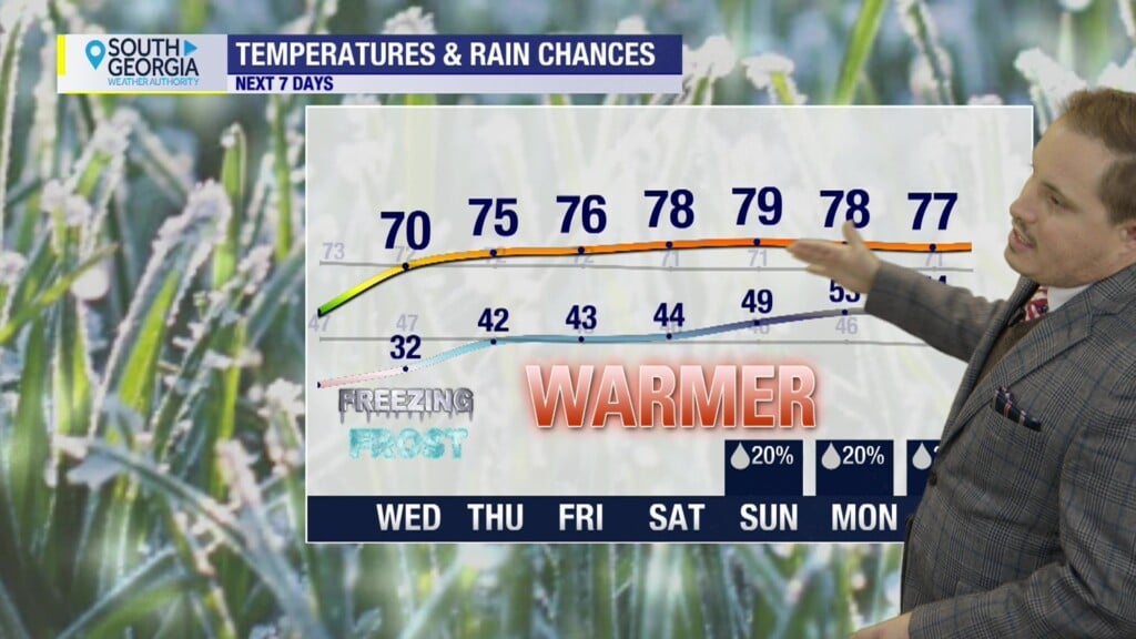
7 DAY FORECAST:
Slightly cooler and less humid the next few days.
Another slow-moving storm system arrives for this weekend.
A stray shower, but otherwise ‘spooky cloudy’ skies for Halloween.

TROPICS:
There are three disturbances the National Hurricane Center is watching.
For updates on the tropics from the National Hurricane Center visit hurricanes.gov

WEATHER WATCHERS
If you love talking about the weather, we would like to hear from you! Now you can sign up to become a South GA Television Weather Watcher!
Click the Weather Watchers link at the top of southgatv.com to find out more, let us know you’re interested, and become part of the team!

Matthew Crumley
@MattSouthGATV
Because Local Matters!