Today’s Weather Authority Forecast: February 8, 2023
Good Wednesday evening! The fantastic, fine early February weather comes to an end as a series of cold fronts comes our way.
The first one arrives late Thursday along with a low-end threat of strong to severe t’storms.
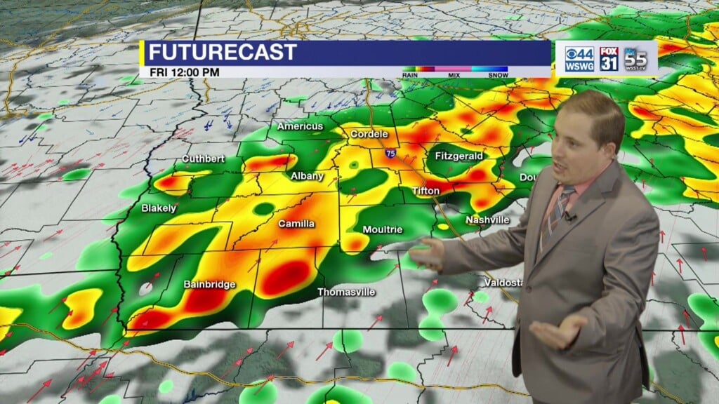
That front stalls on Friday with a better risk of heavy rainfall that could result in localized flash flooding and there’s also the potential of a few stronger t’storms.
The main threats are locally heavy downpours and gusty to damaging wind, but a brief tornado cannot be ruled out.
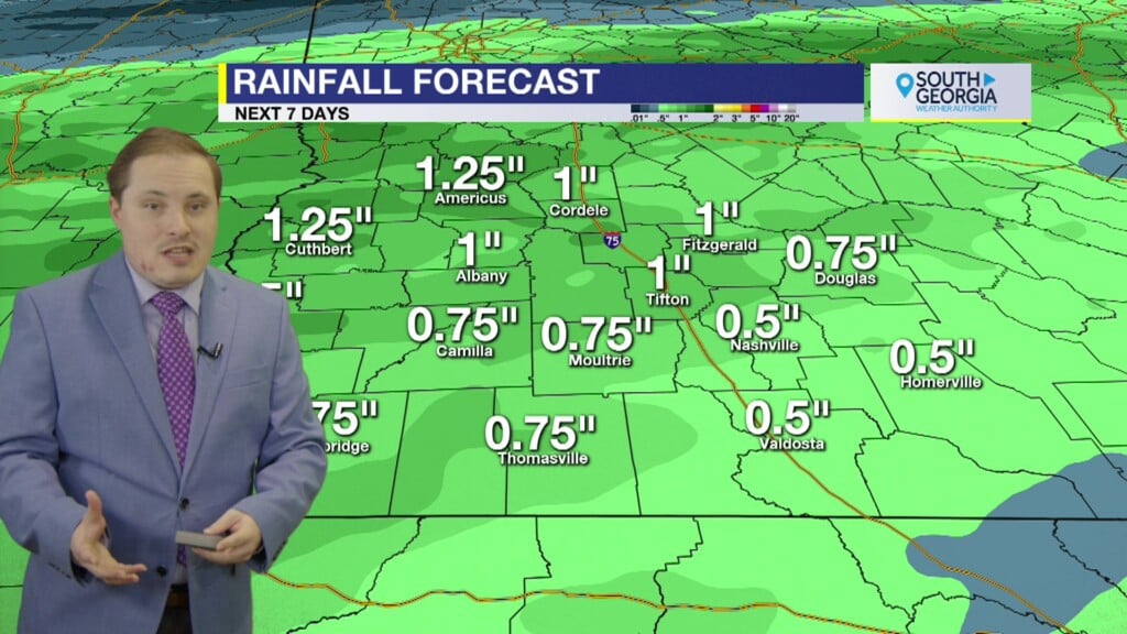
In fact, the models are indicating some hefty rainfall totals 2″-3″.
A second front, along with a cut-off upper-level low slowly moves in at the beginning of the weekend.
This keeps rain likely on Saturday and breezy conditions around.
Clouds may hang tough all weekend long.
Patchy frost is now not expected until Monday morning.
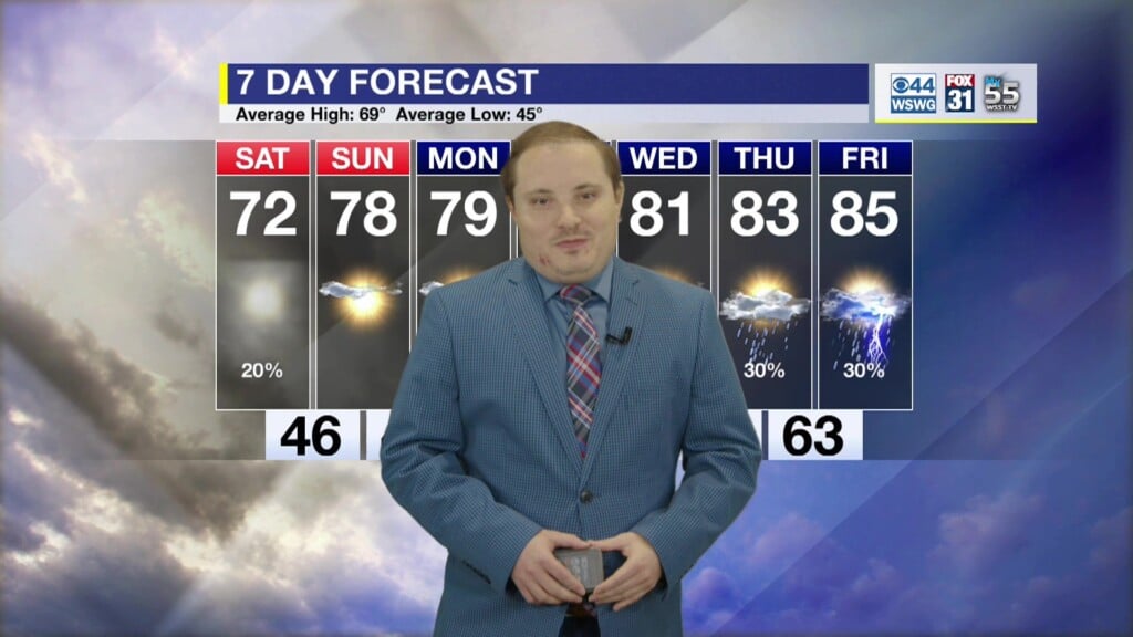
Temperatures quickly rebound back into the 70’s by Valentine’s Day with slight rain chances returning by midweek.
WEATHER WATCHERS
If you love talking about the weather, we would like to hear from you! Now you can sign up to become a South GA Television Weather Watcher!
Click the Weather Watchers link at the top of southgatv.com to find out more, let us know you’re interested, and become part of the team!
Matthew Crumley
@MattSouthGATV
Because Local Matters!


