South Georgia Weather Authority Forecast: September 26, 2025
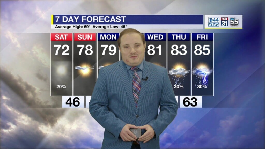
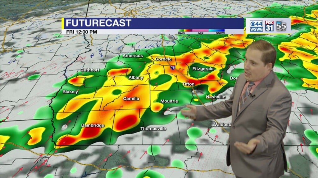
Cloudy, cool, with a few thundershowers lingering a few more hours before tapering off by mid to late evening. Patchy fog early Saturday morning with a chance of a stray sprinkle in the afternoon. More sun than clouds and seasonably warm on Sunday afternoon.
Humberto has rapidly strengthened into the season’s third Major Hurricane, but is not a threat to U.S.
Potential Tropical Cyclone # 9 has developed near eastern tip of Cuba and will move parallel to the east coast of Florida over the next several days gradually strengthening into a Tropical Storm (Imelda) and possibly a low-end hurricane as it approaches the Carolina coastline sometime Monday/Tuesday.
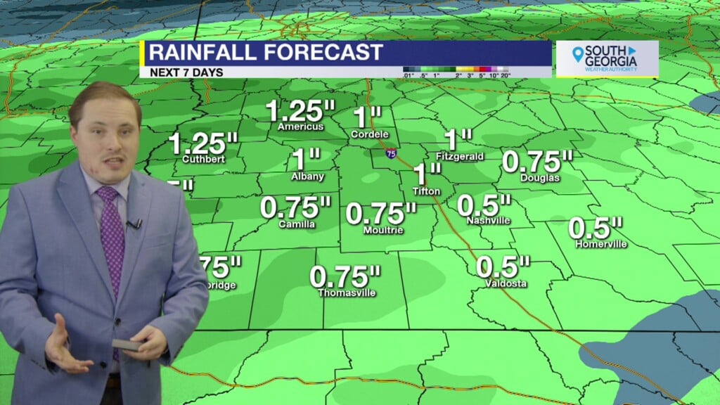
Based on the current forecast track/intensity, only minor peripheral impacts from breezy winds and an increase chance of rain showers can be expected from this system in SWGA from middle to end of next week, depending on the eventual track, which is of low confidence. Keep up to date with the forecast as we move into next week.
The disturbance is forecast to become a tropical storm this weekend and bring tropical storm conditions to portions of the
central and northwestern Bahamas, where Tropical Storm Warnings and Watches, respectively, have been issued. Rainfall associated with this system will impact eastern Cuba, Hispaniola, Jamaica, and the Bahamas through the weekend.
There is an increasing threat of heavy rainfall early next week from coastal Georgia through the Carolinas and into the
southern Mid-Atlantic states, which could cause flash, urban, and river flooding.
The system is expected to be at or near hurricane intensity when it approaches the southeast U.S. coast early next week, where there is a risk of storm surge and wind impacts. Residents in that area should monitor updates to the forecast and ensure they have their hurricane plan in place.
Matthew Crumley
@MattCBS44
Because Local Matters!


