South Georgia Weather Authority Forecast: September 25, 2025
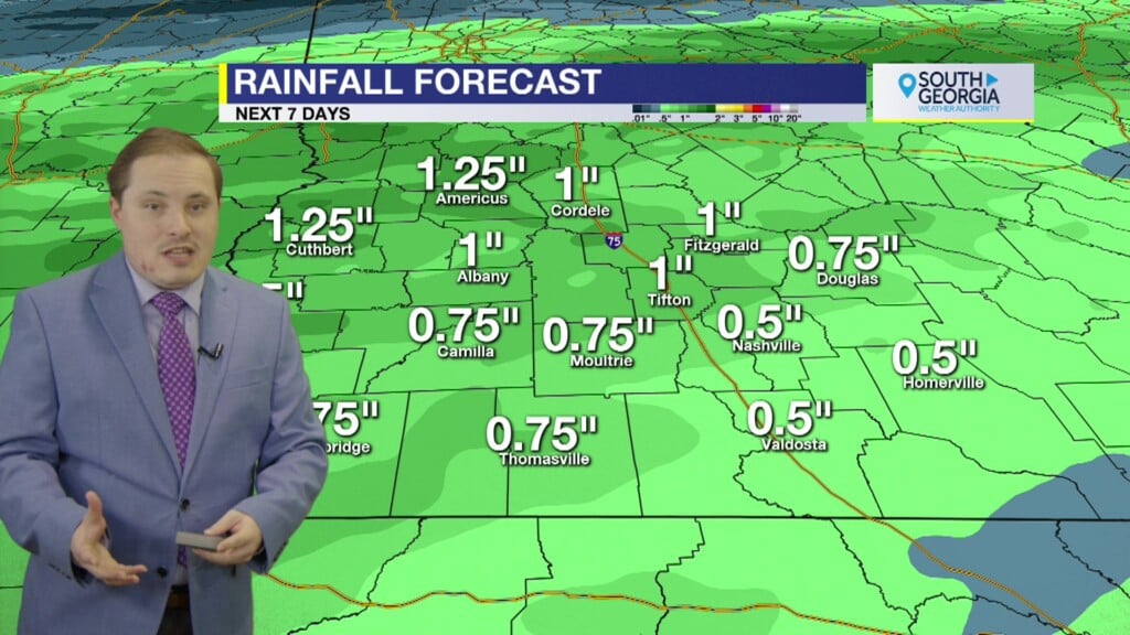
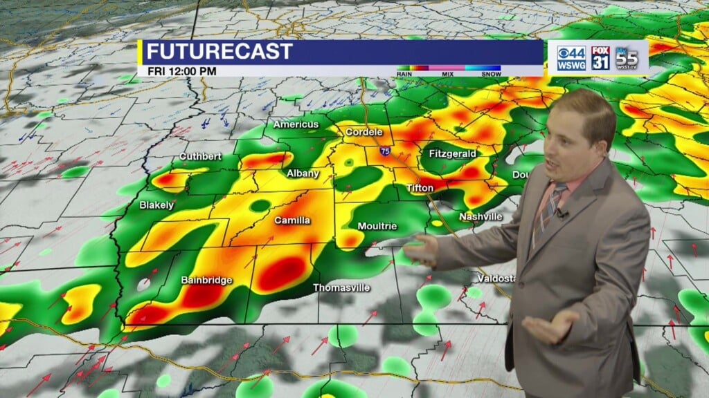
Off/on showers and thunderstorms this evening into overnight. Rain and thunder likely anytime of the day on Friday. Seasonably cooler temperatures this weekend. Drier and seasonably warm week depending on eventual track and intensity of east coast tropical threat next week.
In the tropics, Tropical Storm Humberto has strengthened and is forecast to slowly move WNW or NW as a Major Hurricane as it passes SW of Bermuda. Official forecast and all models & their ensembles keep Humberto offshore of the U.S. Invest 94-L now has a High Chance of tropical development once it emerges off Hispaniola over the SE Bahamas. Thereafter, model guidance tracks shows what will likely become Imelda moving a bit faster to NW far enough away from Humberto’s influence that the storm could possibly rapidly intensify as it approaches the SE U.S. There are indications by global models and hurricane research models that Coastal Empire and Low Country of South Carolina may be threatened by Monday-Tuesday, Sept. 29th-30th. It is also possible that Imelda remains weak and is pulled behind Humberto as both systems recurves NE out to sea. Again, all of that is subject to big changes due to the complexities of the surrounding environment. Stay tuned.
Matthew Crumley
@MattCBS44
Because Local Matters!


