South Georgia Weather Authority Forecast: November 20, 2025
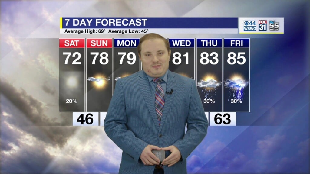
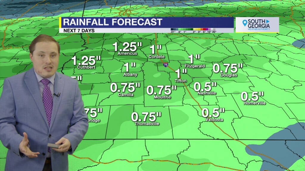
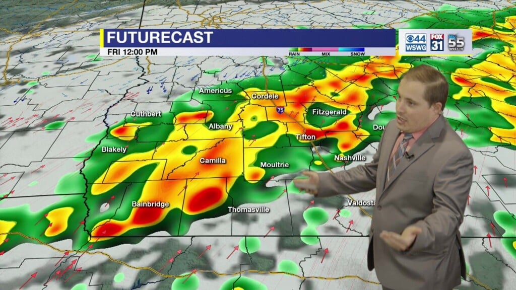
Record high temperature tied of 85°F set in 1991. Near record warmth lasts into the weekend. Dense fog expected again tomorrow morning. Where fog mixes with smoke, visibility may be reduced from less than 1/4 mile to near zero at times. Slow down, allow for extra space between you and car in front of you, and turn on low-beam headlights. Worsening drought conditions continues across the area. For first time in 14 years, the Exceptional (D4) category along Hwy 84 extending into northern Florida. Severe (D2) to Extreme (D3) covers rest of SWGA. Some rainfall deficits are approaching 11″ for the year while others are 7″. “With no rainfall last week and little or no rainfall over the next week along with a return to above normal temperatures, drought conditions will only further worsen, rivaling conditions experienced in Dec 2011-Feb 2012” according to latest NWS Drought Information Statement. Slim chance of showers remains on Saturday. Near record warmth may reappear on Tuesday. Frontal passage finally occurs by mid-week with much cooler temperatures and slightly better rain chances around Thanksgiving.
Matthew Crumley
@MattCBS44
Because Local Matters!


