South Georgia Weather Authority Forecast: January 9, 2026
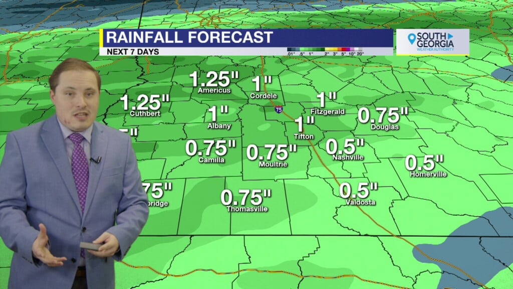
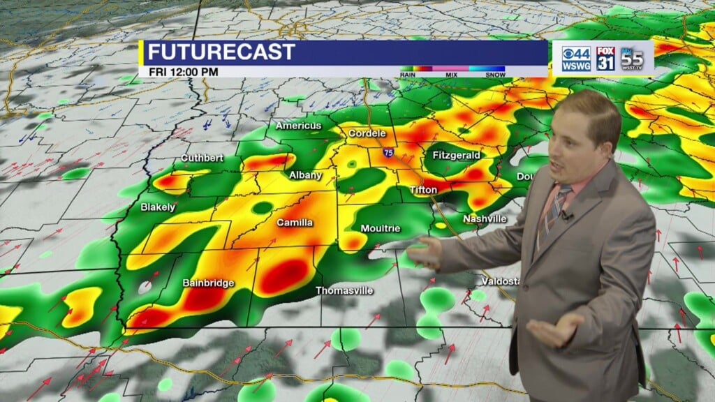
January quite contrary! Big changes into the weekend with a huge swing in temperatures. Last round of dense morning fog reduces visibility <.25 mile. Near record warmth with Marginal Risk of isolated strong to severe thunderstorms mainly along/west of the Flint River during Saturday afternoon and evening weakening in intensity as they move eastward. Gusty southerly winds may approach 25 mph. Rainfall amounts generally light a .25″ or less while portions of northern GA may deal with flash flooding. Much cooler remaining breezy with clearing skies on Sunday. Frosty start Monday morning. Widespread light freeze Tuesday morning. Seasonal mid-week. Another surge of colder air by tail end of the week and a hard freeze is possible.
Matthew Crumley
@MattCBS44
Because Local Matters!


