South Georgia Weather Authority Forecast: January 14, 2026
COLDEST AIR OF THE SEASON
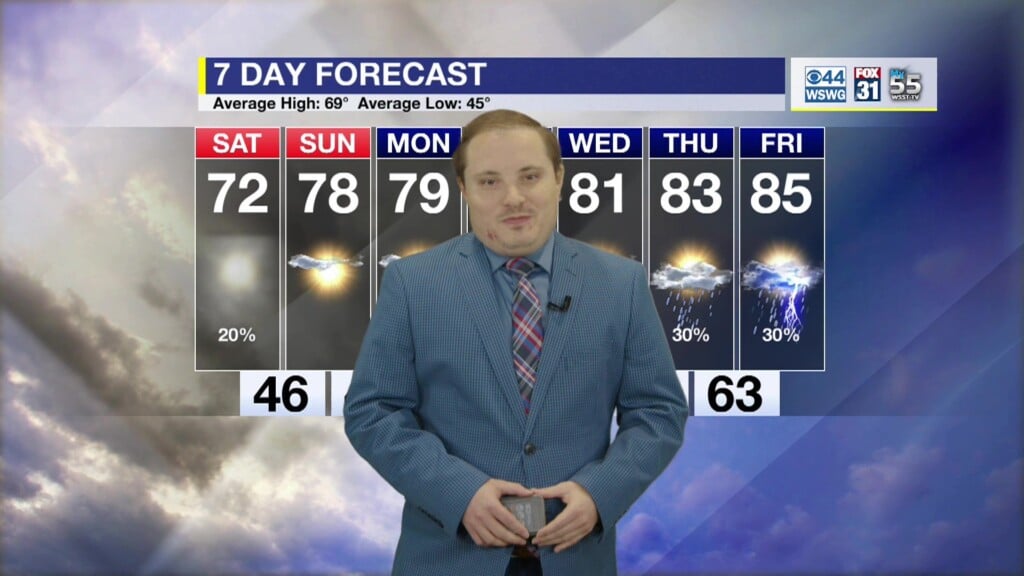
Temperatures tumble into tomorrow as arctic blast #1 arrives. A Cold Weather Advisory is in effect for northwestern counties from 4 am–10 am Thursday for winds chills as low as 18° F. Blustery northwesterly winds 10–15 mph take hold with gusts occasionally as high as 25 mph. A Freeze Watch remains in effect for much of the area for a widespread Hard Freeze (≤ 25° F) Friday morning. Take time to winterize your home by protecting tender or sensitive plants by bringing them indoors or covering them up, make sure the pets and livestock have adequate warmth, and don’t forget to drip or wrap the pipes. Milder on Saturday before arctic blast #2 arrives with some potential wintry mischief this weekend. Another Hard Freeze (≤ 25° F) on M.L.K. Jr. Day. Temperatures remain below average with only a slight moderation expected thereafter.
SO YOU’RE SAYING THERE’S A CHANCE?
On Saturday night into mainly Sunday morning there’s a narrow window of opportunity that IF enough moisture interacts with a shortwave disturbance lagging behind a cold front, there could be a brief period of changeover of precipitation to light snow showers or rain/snow mixture. Models have been back and forth, lacking consistency, but there’s growing agreement and enough of an increasing signal amongst today’s runs to explicitly mention the potential in the forecast. Ideal setup is to already have the cold air in place before the moisture interacts with it. This system is totally the opposite and is NOT the ideal setup in that the cold air is essentially chasing the moisture. Most of the time in these setups, the moisture quickly exits before temperatures are able to “wet bulb” down below freezing throughout the atmospheric column to support any accumulation. At this time, there’s a VERY LOW (≤ 20% chance) for light accumulating snowfall on Sunday with range of possibilities from absolutely nothing to just a few flurries or a dusting to an inch. Keep in mind, we’re still several days from the event, so changes can be expected to the forecast in coming days. Stay tuned!
Matthew Crumley
@MattCBS44
Because Local Matters!


