South Georgia Weather Authority Forecast: August 25, 2025
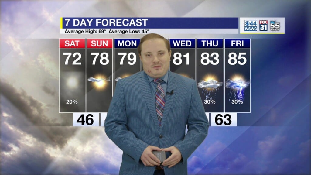
A pleasantly drier and refreshing air mass has invaded the region with slightly cooler than average temperatures through mid-week. Dewpoints drop into the 50s with morning lows in the low-mid 60s for an early taste of Fall. It will be brief as humidity levels rise even with cooler than normal daytime highs into the upcoming Labor Day holiday weekend.
In the tropics, Tropical Storm Fernand (fair-NAHN) has strengthened some, but will remain a “fish storm” over the open waters of the northern Atlantic. Elsewhere, tropical cyclone formation is not expected over the next 7 days, but could ramp back up by early-mid September near the climatological peak of the hurricane season.
Matthew Crumley
@MattCBS44
Because Local Matters!


