South Georgia Weather Authority Forecast: August 22, 2025
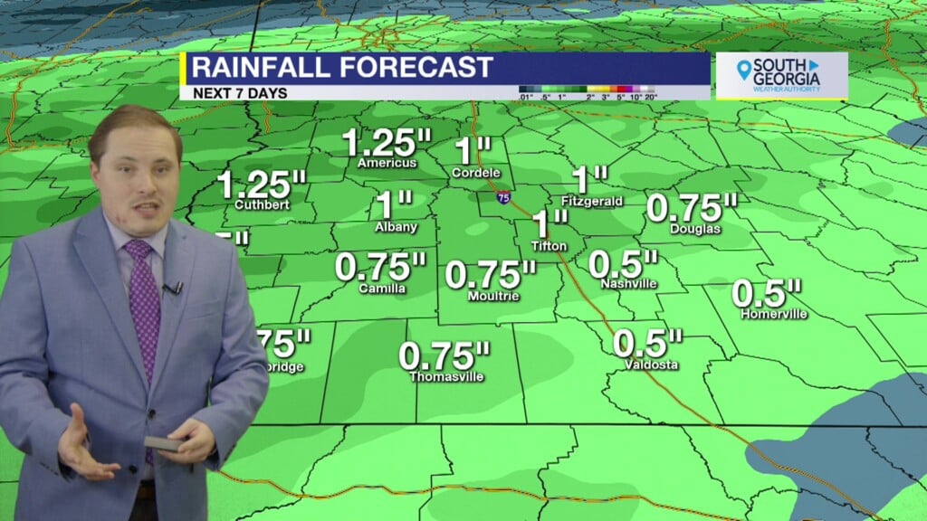
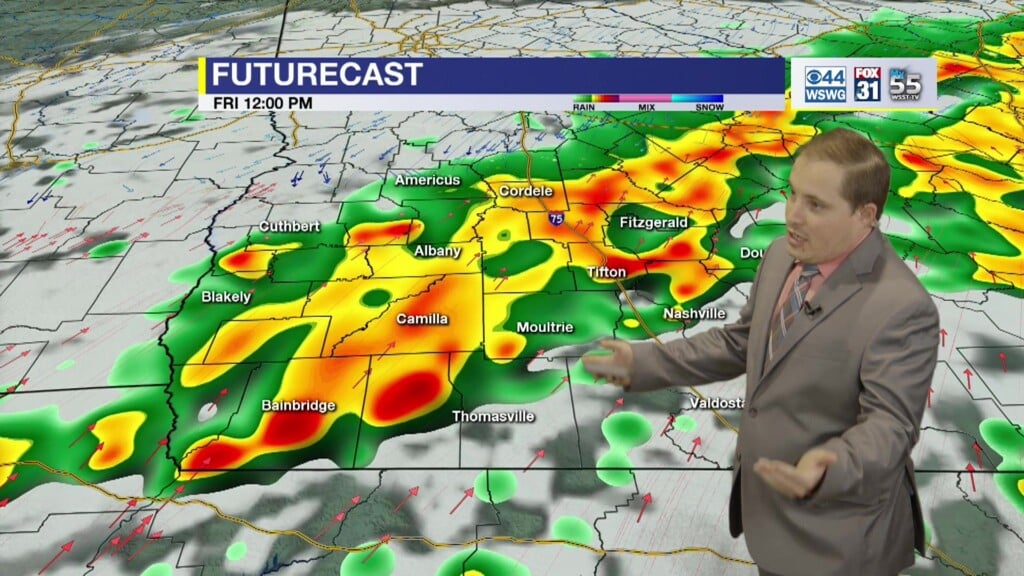
A Flood Watch has been issued for more of SWGA until 2 AM Saturday. 3″-5″ of rainfall is expected with isolated heavier totals of 7″+ is possible. Runoff from heavy rainfall may result in flooding of small creeks and streams, urban and low-lying and poor drainage areas. If you live in a flood–prone area, you should watch for rising water and be ready to seek higher ground! Never cross water-covered roadways! Turn Around, Don’t Drown! Cooler and showery on Saturday. Warmer with scattered thunderstorms on Sunday. Drier and seasonal Monday. Less humid, delightful & refreshing air mass arrives mid-week.
In the tropics, Hurricane Erin remains a very large hurricane. Swimming at many U.S. east coast beaches is likely to remain dangerous for a couple more days. Invest 90L in SW Atlantic has a high chance of becoming a Tropical Depression or Tropical Storm “Fernand” this weekend. Warnings or watches could be required for Bermuda on Saturday. Invest 99L in central Atlantic about halfway between Africa and Windward Islands remains disorganized. While there is still some chance that a short-lived tropical depression could form during the next day or so, the system is expected to move through a less conducive environment into Saturday. The wave could reach a slightly more favorable environment late this weekend into early next week as it approaches the Windward Islands. The tropics may take a brief hiatus late August until about mid-late September when activity may start to ramp up again approaching the climatological peak of the hurricane season.
Matthew Crumley
@MattCBS44
Because Local Matters!


