South Georgia Weather Authority Forecast: August 21, 2025
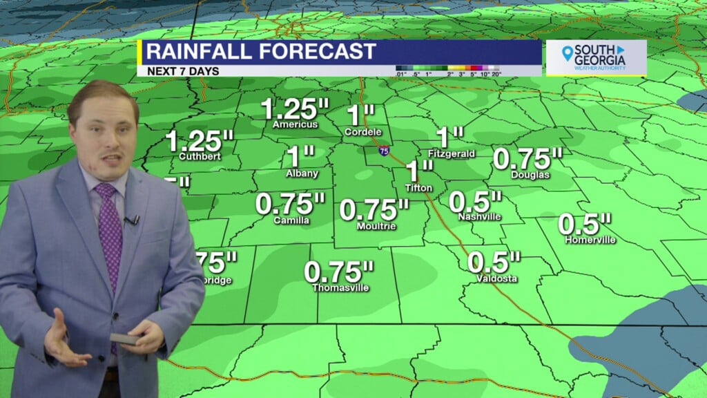
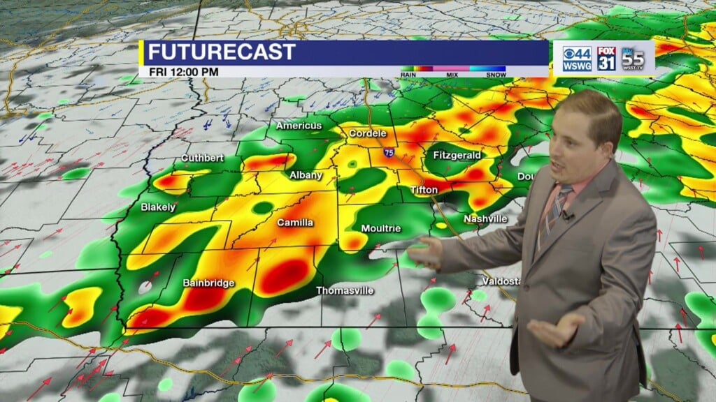
Wet and soggy end to week on Friday and most of the weekend. There’s a Slight Risk (level 2/4) of excessive rainfall & flash flooding of small creeks and streams, urban, low-lying, and poor drainage areas where 1-3″ of rainfall is expected, but localized isolated areas of 4-6″ is possible. Slow-moving storms repeatedly training or back building over the same locations could result in dangerous flash flooding. Remember to never cross water-covered roadways & turn around, don’t drown! Wetter and cooler pattern holds for weekend. Warmer & drier early next week then less humid and much cooler with the taste of fall set to arrive mid-week.
In the tropics, Hurricane Erin continues to accelerate away from the eastern seaboard, but hazardous beach conditions including high surfs and dangerous and life-threatening rip currents remain a huge concern through the weekend. NHC is monitoring 3 other disturbances. Invest 90L near of the Leeward Islands has a High Chance of development as it curves northward out over the open waters. A weak system over the central Atlantic near the Azores has a low chance of development. Invest 99L over the eastern Atlantic has a Medium Chance of development, but it is moving into a marginal environment for any further development.
Matthew Crumley
@MattCBS44
Because Local Matters!


