South Georgia Weather Authority Forecast: August 20, 2025
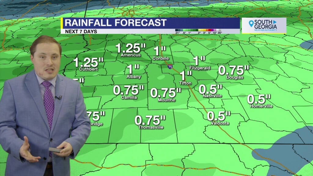
Increasing rain chances for remainder of work week as an old frontal boundary decays into a surface trough over the region. Widespread coverage of showers and thunderstorms for Friday and much of the weekend with cooler temperatures. There is a Marginal Risk of excessive rainfall so flash flooding of urban, low-lying and poor drainage areas is possible. A cold front arrives either on Tuesday or Wednesday of next week with mornings in 60s and drop in humidity levels for a brief “taste” of fall.
In the tropics, Hurricane Erin has strengthened over past 24 hours and further strengthening back to a Category 3 major hurricane is possible before weakening but transitioning to a post tropical system and accelerating out to sea. Conditions expected to deteriorate soon for North Carolina Outer Banks. Beachgoers are cautioned against swimming at most U.S. East coast beaches due to high surfs and high risk of dangerous and life-threatening rip currents. Medium chances for tropical development behind Erin. First disturbance has better prospects in a few days, but may recurve in similar path to Erin. Invest 99L may enter the Caribbean Sea over the next 7 days, but is only in a marginal environment for development. There is NO threat to land from either system at this time.
Matthew Crumley
@MattCBS44
Because Local Matters!


