South Georgia Weather Authority Forecast: April 21, 2025
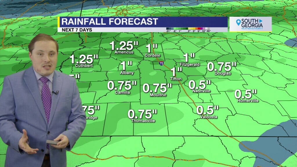
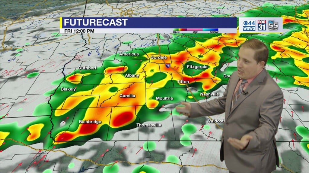
Warming up each day as temperatures climb 5°-10° above normal towards 90° even near record levels the rest of the week into the weekend. Rain chances remain slim to none.
It has been 10 days and counting without measurable rainfall since 0.17″ on April 11th in Albany, GA. Last appreciable rainfall was 1.34″ on April 7th. Latest U.S. Drought Monitor has a small portion of SWGA under abnormally dry conditions. Soils remain wet below surface, but top layer is quickly drying. The infamous Bermuda high pressure ridge pattern, albeit weak, has suddenly made an early appearance which is preventing storm systems from moving into our area and frontal boundaries from making a clean passage remaining just off to our northwest. This pattern also allows temperatures to remain above normal adding a few more 90° days for rest of the month into early May. It is a little early for the summer-like pattern but not completely unusual. Eventually we will transition more towards the mesoscale-driven (i.e. sea breeze, outflow boundaries, etc.) hit-or-miss, pop-up variety rainfall events versus the synoptic scale (fronts, low pressure storm systems), but we still got a few months to go before that happens.
Matthew Crumley
@MattCBS44
Because Local Matters!


