CBS 44 Weather Authority Forecast: March 11, 2025
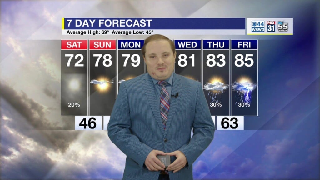
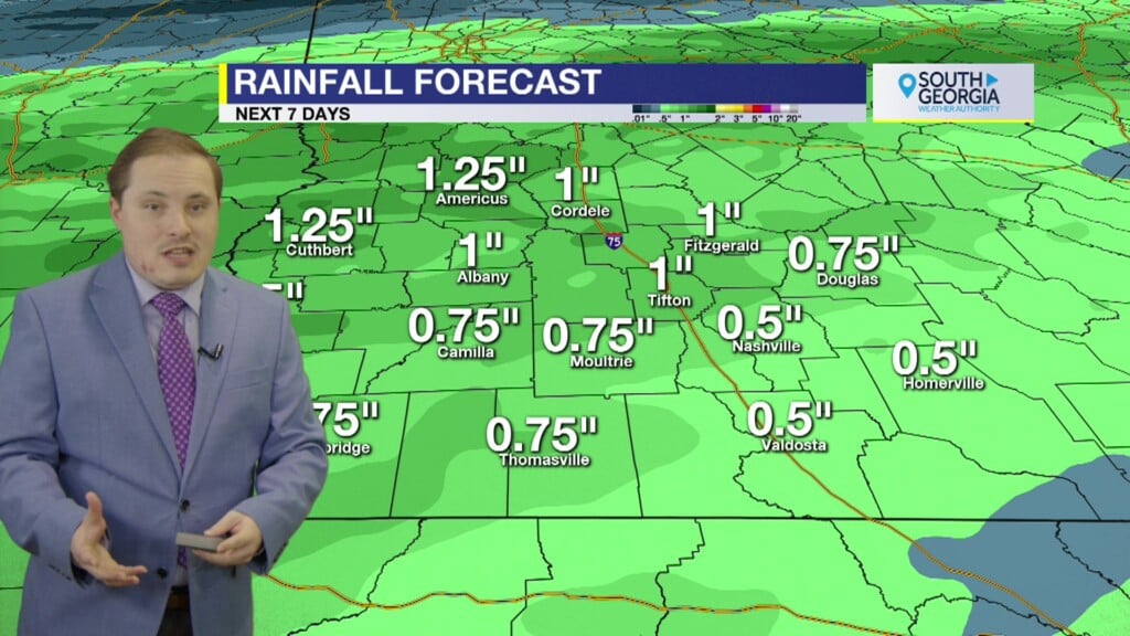
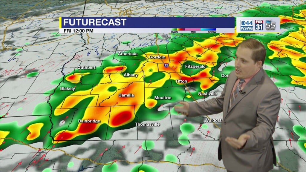
Warm and dry through mid-week. A weak storm system brings a Marginal Risk (level 1/5) of isolated stronger t’storms Thursday afternoon to extreme SWGA. Main threats are gusty winds and small hail. Very warm climbing into the 80s and breezy southerly winds 15 – 25 mph with higher gusts possible on Saturday. The highest severe weather threat so far this year arrives late Saturday extending into Sunday. An Enhanced Risk (level 3/5) includes far western portions of SWGA & Slight Risk (level 2/5) covers the remainder of the area. Specific details such as exact timing and areas of greater threat remain uncertain and will come into focus in the coming days, but tornadoes, damaging winds and large hail will all be possible. Continue to monitor future updates & review your severe weather preparedness plans! Cooler and drier for St. Patrick’s Day.
Full Blood Worm Moon & Total Lunar Eclipse: First in 3 years (last one in 2022). Thursday evening/Friday morning. The moon will be illuminated by a dusty red color after passing through Earth’s shadow.
Countdown: 9 days until Spring officially begins with Vernal Equinox on Thursday, March 20th, at 5:01 AM Eastern Time.
Matthew Crumley
@MattCBS44
Because Local Matters!


