South Georgia Weather Authority Forecast: January 20, 2026
JANUARY TEMPORARY THAW
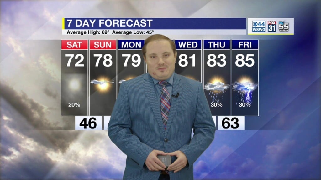
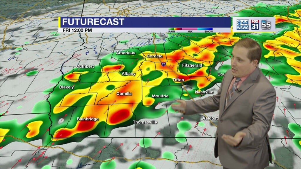
Last night with sub-freezing temperatures with lows in mid-upper 20s. Milder mid-week with increasing cloudiness and a warming trend with highs near 70° Thursday and Friday. Rain showers this weekend turns into a major Winter Storm. Even after this Winter Storm the NOAA NWS Climate Prediction Center is forecasting Much Below Normal Temperatures for the end of January extending into Groundhog Day.
ICE, ICE, MAYBE…
There is increasing confidence in a major Winter Storm across much of the South including mainly portions of North and Central GA this weekend. Details regarding who gets what, when, and the extent of any impacts, should become clearer in the coming days. Some uncertainties include the chance of any preceding precipitation, the position of the “freezing line”, depth of the warm nose or cold air aloft & strength of “the wedge” or Cold Air Damming (CAD) or how far south the cold air will extend from the southern Appalachians. The probabilities are low (0 to 20%) but light Freezing Rain / Ice Accretion <0.05″–0.1″ (Light Glaze) may be possible in SWGA from Hwy 82 to Hwy 280 northward with minor but disruptive impacts from slippery road conditions. Major, more significant and potentially crippling impacts to central & northern GA. While there will be adjustments or fluctuations in timing & amounts, if >0.25″ materializes this could weigh down tree limbs/power lines and result in scattered power outages. Stay tuned!
Matthew Crumley
@MattCBS44
Because Local Matters!


